


Turn aerial data into accurate 3D maps, giving you clear insights to plan, build, and manage projects faster and safer.
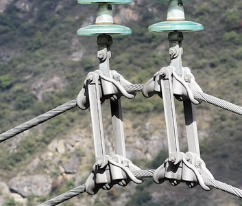
Inspect roofs, infrastructure, telecom sites, powerlines safely and efficiently—catch issues early and make smarter decisions without putting anyone at risk.

Accurately measure stockpiles to know exactly how much material you have on hand, how much you need, and how much is used at each site.
Using our DJI Inspire 3, we capture your project from start to finish with a stunning aerial timelapse—track progress and showcase your work like never before.
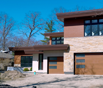
Capture detailed aerial photos and videos for inspections—spot issues safely, accurately, and efficiently without climbing or scaffolding.
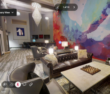
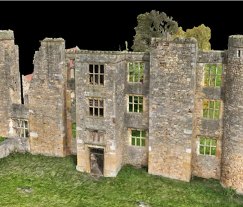
Create high-accuracy 3D tours using LiDAR scanning with the Matterport Pro3, delivering precise spatial IQ for virtual walkthroughs, measurements, and documentation.

We discuss the site, scope, timeline, and deliverables to understand exactly what data and deliverables are needed.


A clear quote is provided outlining scope, timeline, pricing, and final deliverables.

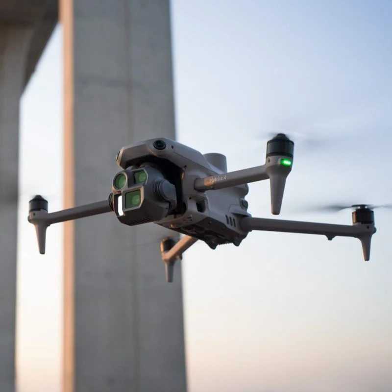
We arrive on site and collect the required aerial data safely and efficiently using our DJI Matrice 4 Enterprise drone.


Captured data is processed into maps, models, measurements, or inspection deliverables.


Final files are delivered digitally with clear documentation and measurement tools as required.
